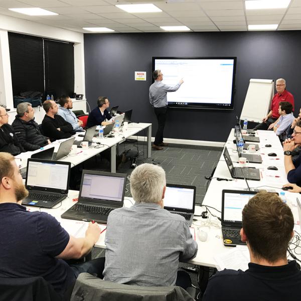
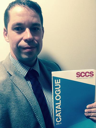
General

  1. GPR Training Course

    GPR Training Course
    SCCS are providing a two day GPR Training Course to cover everything from the theory of radar to how to complete a survey with the Leica DS2000 Dual Frequency Ground Penetrating Radar. Completion of the course will leave you both confident in identifying services and in general use of the DS2000 GPR. The first day of the course is primarily...
  2. Switching from Traditional to Digital Asset Management

    Switching from Traditional to Digital Asset Management
    Leica ZRover – Faster, more accurate asset management Switch from manual tools to digital processes to improve the accuracy and efficiency of collecting asset management information. The construction industry is transforming to adopt digital ways of working. Traditional ways are often manual, time consuming and subject to human error. Switching to digital asset management, by using the Leica ZRover solution...
  3. Discover how to achieve centimetre accuracy on your smart device.

    Discover how to achieve centimetre accuracy on your smart device.
    For field workers requiring greater accuracy, the Leica Zeno GG04 provides you with the flexibility to connect your own smart device for data collection and still achieve high quality positioning data.   The Leica Zeno GG04 smart antenna significantly enhances the precision of your position accuracy (up to 1cm) on your smart phone or tablet, enabling you to achieve reliable...
  4. Leica iXE CoPilot - Simplifying the use of tilt rotators with iXE CoPilot

    Leica iXE CoPilot - Simplifying the use of tilt rotators with iXE CoPilot
    The excavator operator only needs to concentrate on controlling the digging movement (boom, arm, bucket and slew of the machine) while the tilt and rotation function of the tilt rotator is adjusted automatically based on the reference model surface under the bucket. The operator maintains control of the bucket rotation as they dig, allowing them to manage material in the...
  5. Leica DX Office Vision - Utility post processing software

    Leica DX Office Vision - Utility post processing software
    DX Office Vision is Leica Geosystems’ Utility Post Processing Software that allows DS2000 users to map digitally the detected underground utilities in a simple way by converting GPR data into CAD drawings. Key benefits: Create CAD drawings of the detected utilities in an uncomplicated way in minimum time and with less training. View collected data of the detected utilities in...

Items 61 to 65 of 214 total