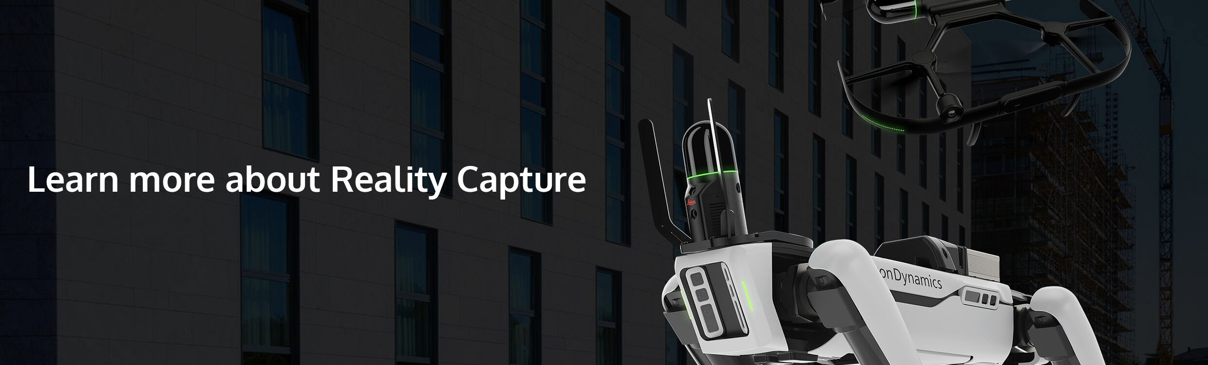
Reality Capture
Reality capture solutions visualise any environment as it is so you can model with accuracy and precision.
We supply a selection of industry-leading scanners and software to industry professionals to create the most realistic digital environment for the most accurate planning. Focussing on energy efficient and safe construction, Leica Geosystems reality capture laser scanners and mobile mapping solutions.
The Leica BLK360 captures the world around you with full-colour panoramic images overlaid on a high-accuracy point cloud. Simple to use with just the single push of one button, the BLK360 is the smallest and lightest in the world.
The Leica RTC360 is a new ultra-fast medium-sized 3D laser scanner designed to quickly capture rich data while simplifying both in field and in office workflows. It captures scans, and High-Dynamic Range (HDR) imagery in less than two minutes while simultaneously recording the scanner’s movement from station to station to pre-register scans without manual intervention. Combined with Cyclone FIELD 360 software for automated registration in the field, the Leica RTC360 reality capture scanner offers outstanding precision that can be checked on-site.
Leica ScanStation P-Series 3D laser scanners are your perfect partner when capturing 3D geometry of civil infrastructure, creating an as-built representation of a large industrial complex or generating 3D data for integration into Building Information Modelling (BIM).
Delivering the highest quality 3D data and HDR imaging at an extremely fast scan rate of 1 mio points per second at ranges of up to 1km. Unsurpassed range and angular accuracy paired with low range noise and survey-grade dual-axis compensation form the foundation for highly detailed 3D colour point clouds mapped in realistic clarity.
Visit the Laser Scanning Document Library full of HDS instrument brochures, helpful instruction manuals along with tutorials and step by step guides.
If you can't find the information or document you require please contact us on 01480 404888 or email our sales team sales@sccssurvey.co.uk for further help and guidance.