We have some great opportunities available. Visit our careers page to find out how we can make a difference to your future! https://www.sccssurvey.co.uk/careers Field Sales Representative We’re seeking a qualified sales representative to generate leads and build relationships across all SCCS products but with a particular emphasis on TPS and GPS. The sales representative will be personable, professional and can...
Support
-
Wisen Wireless Mesh Network Solution receives full Network Rail approval
SCCS is very happy to announce that the Wisen Wireless Mesh Network Solution has now received full Network Rail acceptance and approval PA05/06364. The #WisenMeshNet Solution includes fully automated rail geometry computation (cant, twist and longitudinal settlement profile). The resultant data is ready to be seamlessly integrated into any third-party software and Leica Geosystems #GeoMoS able, include and compare total... -
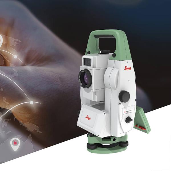
Manufacturers approach to Instrument Security & Theft : Leica Geosystems, Trimble and Topcon
Join Chartered Institute of Civil Engineering Surveyors for an evening to discover how Leica Geosystems, Topcon & Trimble are using technology in enabling instrument security in an attempt to combat instrument theft. Theft of surveying equipment is in the news constantly these days and a number of companies are being affected, some several times over. Join us for an evening... -
Merry Christmas
We would like to use this Christmas newsletter to express both our thanks for your custom in 2018 and send good wishes for 2019. During this year we have been extremely pleased to supply and support our customers with high-quality products and level of service throughout the UK. Some of the major projects we are pleased to have been involved... -
Digital Construction Week 2018
Come and join us on stand A14 at Digital Construction Week in London during 17-18 October 2018 at the London Excel Centre. Digital Construction Week is the only event series in the UK dedicated to innovation and technology in the built environment we will be demonstrating the capabilities of the following equipment: Leica ICON iCR80 Robotic Construction Total Station Leica...


