More comfort with exceptionally reliable results
Complicated infrastructure demands the uppermost accuracy when defining and setting out reference heights. With dedication in striving forward, Leica Geosystems have produced the Leica LS10 & LS15 Digital Levels to provide an enjoyable field experience. From measuring roads, railways, bridges or other structures, the Leica LS Digital Levels provide reassurance and ease to an extensive range of complicated levelling applications.
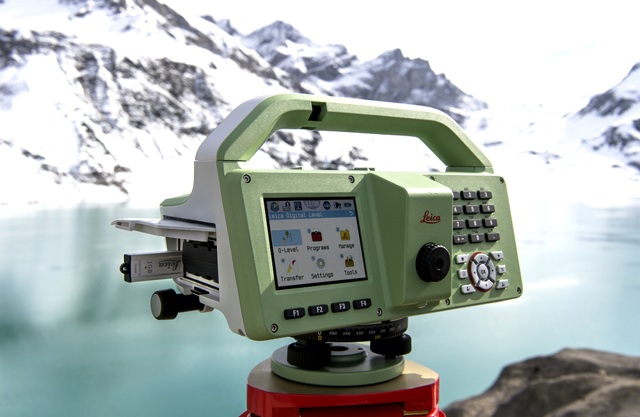
The Leica LS15 achieves all project steps, simplifying demanding tasks associated with the levelling process. 0.2 mm accuracy is accomplished by aiming at the target with the use of the colour touch display and pressing the measuring control. Features such as an electronic bubble, autofocus and tilt checks prior to each measurement help to reduce measuring professionals’ fatigue over a day’s work, reducing the risk of human-based errors.
Faster staff sighting
The Leica LS15 is the only level on the market equipped with a camera and enables target staffs to be sighted faster. Users need only to locate the staff on the camera’s touch display and to press the measuring button to automatically record the staff reading and measurement values.
With the digital level’s USB and Bluetooth® interface to enable fast and easy data transfer, Leica Infinity software suite processes complex levelling data back in the office. Users can combine tables with graphics or cross check important project information in one program window, creating easy access to all project data, results and deliverables.
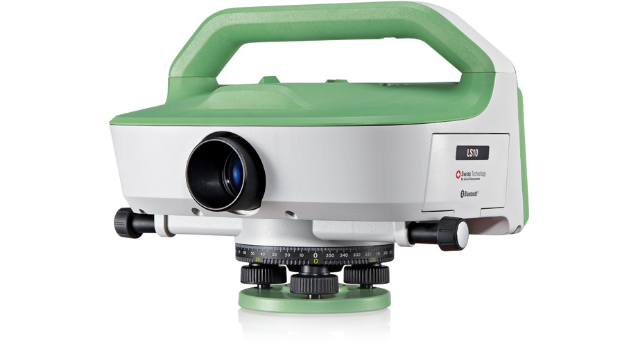
→ Details on the Leica LS10 Digital Level