MicroSurvey STAR*NET Certified Course
STAR*NET by MicroSurvey is a user-friendly and reliable least squares adjustment software, globally recognised for its precision and accuracy.
This course will provide you with the necessary skills to use most functions of STAR*NET. You will gain hands-on experience with converters, learn how to set up a STAR*NET project, select or compute appropriate a priori values (Instrument Settings), choose suitable field procedures, and troubleshoot any issues that may arise. You will practice using total station, RTK GNSS, static GNSS, and levelling data, but the principles learned will apply regardless of the type of sensor used in your organisation.
Microsurvey offers a classroom session taking place over two days. This will be a "bring your own laptop" event. Sample files and manuals will be provided. A certificate of completion designating the recipient as a Star*Net Certified Professional will be awarded upon completion of the class.


Topics:
This program will cover most aspects of using Star*Net and will cover strategies and techniques for working with levelling data, conventional traverse data and GNSS data. Attendees who complete the course will be prepared to:
-
Configure STAR*NET for a range of equipment types
-
Derive a priori values for instrumentation from specifications
-
Design and manage a least squares project
-
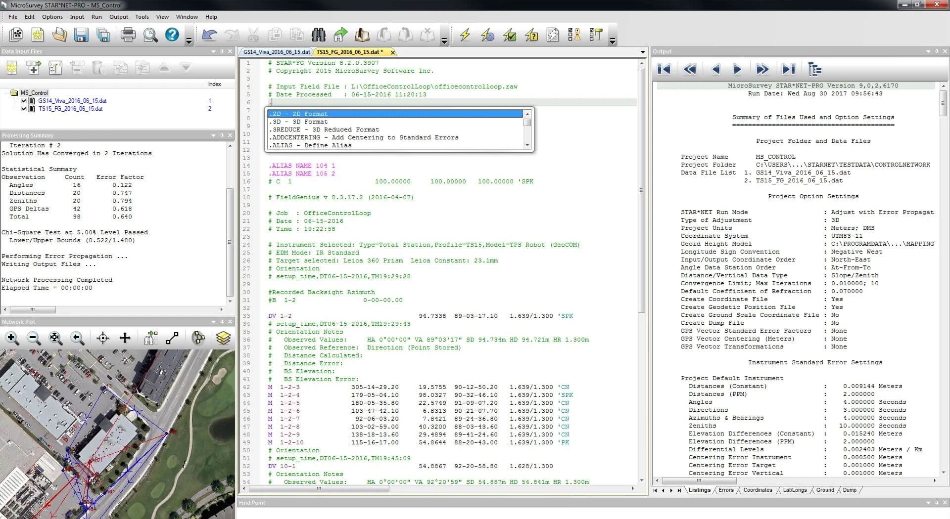
Interpret results from the listing
-
Find and resolve typical problems with networks
-
Use a variety of data conversion and import strategies
-
Combine data from a variety of sources into a single balanced network
Event Details:
Training Dates & Locations:
Session 1:
Date: 26th and 27th February 2024
Location: Leica Geosystems Limited, Hexagon House, Michigan Drive, Tongwell, Milton Keynes MK15 8HT
Session 2:
Date: 28th and 29th February 2024
Location: SCCS, Alpha House, Alpha Drive, Eaton Socon, St Neots, Cambs PE19 8JJ
Training Time: 9:00 AM – 5:00 PM